
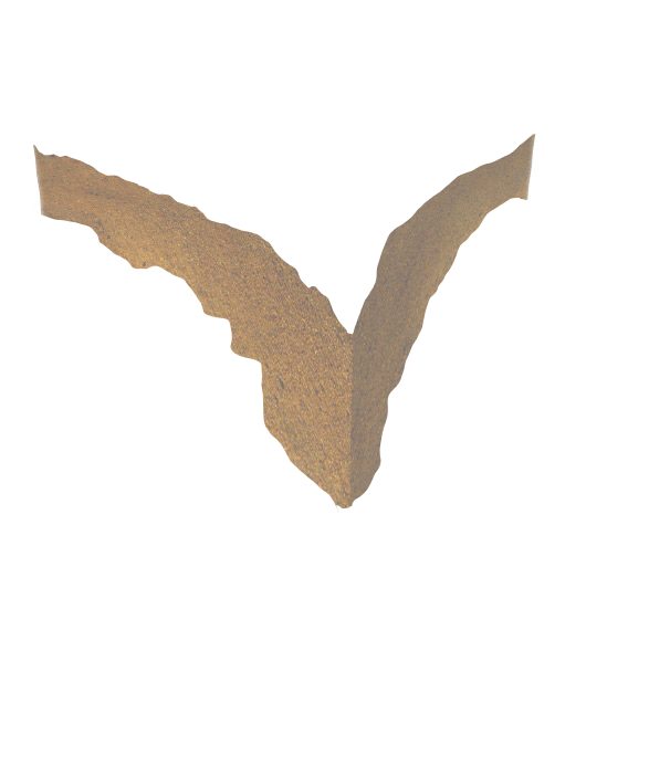
- O Horizon
(loose and partly decayed organic matter) - A Horizon
(mineral matter mixed with some humus) - E Horizon
(light colored zone of leaching) - B Horizon
(accumilation of clay from above) - C Horizon
(partially altered parent material) - Unweathered parent material

Soil has long been utilized to facilitate the treatment and disposal of domestic waste water. An accurate assessment of soil characteristics is critical to determine the soils inherit suitability for on-site systems, and its ability to treat effluent in a manner which protects public and environmental health. Soil mapping and interpretation using the U.S. Department of Agriculture system of classification and National Cooperative Soil Survey Standards form the basis for the permitting of on-site sewage management (septic) systems in the state of Georgia. Applied Environmental Sciences maintains Department of Public Health Certified Soil Classifier registration in all Georgia counties.

Level 1 Soil Mapping:
Due Diligence, Pre-purchase – Lower Intensity Survey- Determination of general site suitability
- Designation of general development potential
- Mapping and calculation of approximate suitable/marginal/unsuitable acreages
- One boring per three acres minimum
- Location of hand auger borings utilizing GPS capable of sub-meter accuracy
Level 2 Soil Mapping:
Planning & Design - Moderate Intensity Survey- Determination of general site suitability
- Determination of general lot yield
- Mapping of general soil series and acreages
- One boring per acre minimum
- Location of hand auger borings utilizing GPS capable of sub-meter accuracy
Level 3 Soil Mapping:
Septic Permitting - High Intensity Survey- Mapping of soils following National Cooperative Soil Survey Standards
- Percolation rate and trench depth recommendations
- Hydraulic loading rates
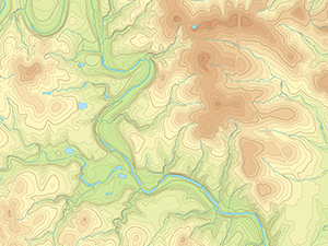
- Soil survey map in digital format
- Four borings per acre minimum
- Location of hand auger borings utilizing GPS capable of sub-meter accuracy

Level 4 Soil Mapping:
Specialized Survey- Utilized when alternative septic systems are proposed
- Additional borings to supplement Level 3 Soil investigation
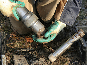
- Constant head permeability testing to determine saturated hydraulic conductivity (Ksat)
- Hydraulic loading rates for specific soil horizons
- Test pit excavations to determine bedrock characteristics
- Monitoring of seasonal groundwater tables

Land Application Sites:
On-Site Waste Water Systems with a design flow of greater than 10,000 gallons per day fall under Georgia Environmental Protection Division (EPD) jurisdiction.- Site selection report
- Soils Investigation & Soil Chemical Analysis
- Hydraulic Conductivity Testing
- Design Wastewater Loading Rate and Land Area Requirement Determination
- Nitrogen Balance and Five-Year Return Monthly Precipitation Calculations
- Detailed soil investigation report